The fall of 2023 has been the most vibrant display of fall color since at least 2008. Not only have the colors been saturated, the season has lingered for weeks. In late October (Jim's birthday!), we represented our ski club at the Blue Ridge Ski Council's fall meeting at Wintergreen Resort on the other side of the Blue Ridge Mountains. After the meeting was over, we spent the afternoon cruising home on the Blue Ridge Parkway from VA 664 south to US 60. We were joined by crowds of leaf peepers in cars, on motorcycles, and bicycles.
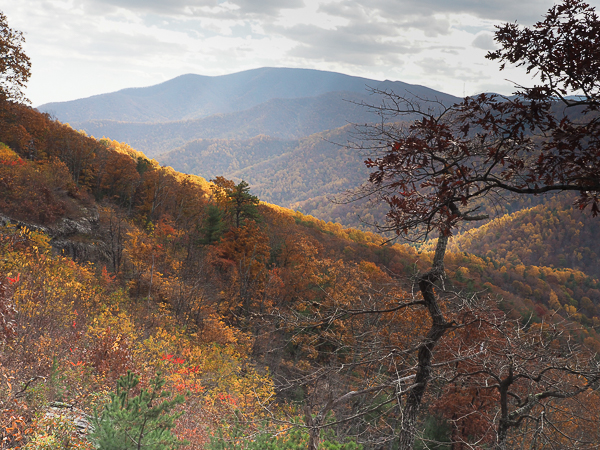
Although the sky was partly cloudy, flashes of sunlight highlighted golden shades.
This is the Twenty Minute Cliff overlook. The referenced rock face looks west. This picture was taken looking south.
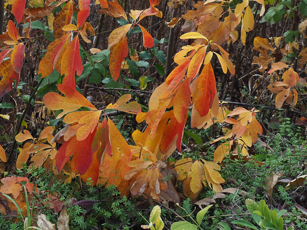
The predominant colors in the mountains were yellow and orange. Sassafras, with its variously shaped leaves, provided occasional reddish shades.
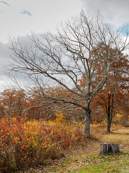
Especially on the crest of the mountains, many trees had already lost their leaves to cold and wind.
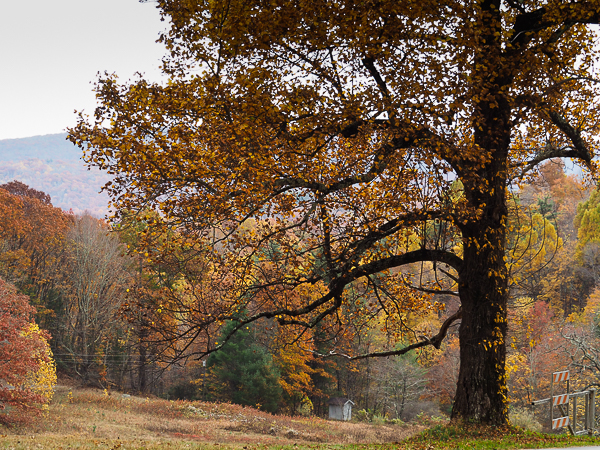
I don't know what the small shed is for.
This location is opposite the Whetstone Ridge District Office.
Gates are just visible at the lower right of the photo. During the winter, much of the parkway is closed if there is snow or ice. It isn't feasible to keep it open except where local residents need access.
There is still private property along the Blue Ridge Parkway. Both here and in Shenandoah National Park, north of Interstate 64, many residents were forced to leave their land and move away from their ancestral mountain homes. A false narrative of a small number of backward and poverty-stricken mountain people enabled the government to brush aside the rights of the inhabitants. Some of their descendants have formed a group, Children of the Shenandoah, to keep the memory alive.
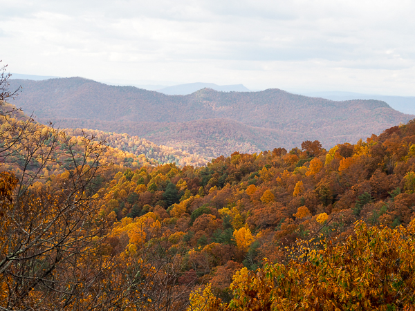
I didn't record which overlook this was, but I believe it was facing away from the Shenandoah Valley. Sometimes the Parkway travels along the crest, sometimes to the Valley side, sometimes to the "eastern" side.
The Blue Ridge Parkway was conceived to connect the Skyline Drive in Shenandoah National Park with the Great Smoky Mountains National Park. It was started in 1935, but not completed until 1987.
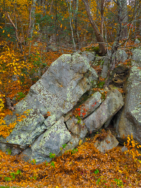
In the perennial struggle of tree versus rock, the tree usually wins.
The roots of a tree are forcing apart these rock layers.
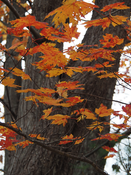
Sugar maples are native to the higher elevations in this region, but this may be a relative, the black maple. It's hard to tell how many lobes these leaves have: the 5 of the sugar maple or the 3 of the black maple.
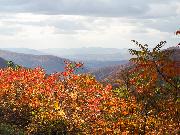
This overlook toward the Valley of Virginia is enlivened by Staghorn Sumac.
The portion of the Great Valley that runs through Virginia is often characterized by the name Shenandoah Valley, even though the Shenandoah only drains the northern portion of it. In this neck of the woods, the valley is drained by the James River and its tributaries.
A pretty song sticks in the mind. No one has yet written "Oh James, I long to see you...."
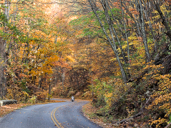
The only places it was safe to stop for pictures were the overlooks, but the road itself was stunning as it wound through the trees. This was the only place where I was able to capture that kind of scenery.
This was taken at the same overlook as the above picture.
We played hopscotch part of the way with a couple in a modified 1939 Ford convertible (I hope this page stays online as it was the best I found). As we followed them between overlooks, the woman passenger held her camera above the windshield to capture pictures or videos of the road. I told her how much I envied that ability. As it was, we just oohed and ahhed.
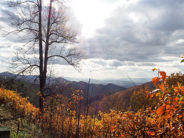
This was our last stop before reaching US60 and heading down the mountain.
A wonderful opportunity to see this beautiful place we live in.
Click your "back" button to return to the previous page or click for our picture album.