Back in the 19th century, several railroad companies planned routes through Lexington, but most didn't pan out. Eventually two reached town, but after Hurricane Camille wiped out the tracks between Lexington and Buena Vista, the city lost all of its service.
In May, the Historic Lexington Foundation sponsored a walking tour of our railroad past led by historian Byron Faidley. Almost 50 intrepid walkers braved the cool cloudy day to learn more details.
Byron began by sorting out the various transportation companies that were active in Lexington and Rockbridge County.
Prior to the coming of the railroads, freight traffic to the area was served by the James River and Kanawha Canal. It ran between Richmond and Buchanan, VA, on the James River south of Lexington. The North River Canal connected Lexington with this system at Glasgow, VA, and was later purchased by the JR&K company. After the Civil War, the canal was sold to the Richmond & Alleghany Railroad. (This line was acquired by the Chesapeake and Ohio Railroad, now CSX Transportation.) The resulting rail line followed the canal towpath in large part to the canal terminus at Jordan's Point and was completed in 1881. It then used the VRR/B&O tracks into the Lexington station. This line remained in operation until 1969 when the remnants of Hurricane Camille washed out the tracks.
The Valley Railroad (VRR) was formed in 1866 to provide a rail link between Harrisonburg and Salem, Virginia. It struggled to obtain adequate financing and eventually became affiliated with the B&O. Although the line was completed between Staunton and Lexington, it never reached farther south although many stone culverts were constructed and still remain along the proposed right-of-way. The line was abandoned in the 1940s.
The Shenandoah Valley Railroad (SVRR), a project of the B&O's rival Pennsylvania Railroad (PRR), was also chartered after the end of the Civil War. Its right of way was to the east through Buena Vista to Big Lick, now Roanoke. It was completed, but struggled and was purchased by the Norfolk & Western, now part of Norfolk Southern. This line still carries commercial freight traffic.
The C&O also had a line that ran through the northwest corner of Rockbridge County through Goshen and on to Clifton Forge. This line is also still operational, but it never served Lexington.

Our tour started at the 1883 Lexington Train Station (the picture at the link shows its original location). The building, constructed by the Valley Railroad company, was moved to its current location in 2004. It currently houses the headquarters of the Omicron Delta Kappa national leadership honor society.
My father was a member of ODK.
Leaving the station, we walked the short distance to its original location where the Washington & Lee Lenfest Center for the Arts now stands.
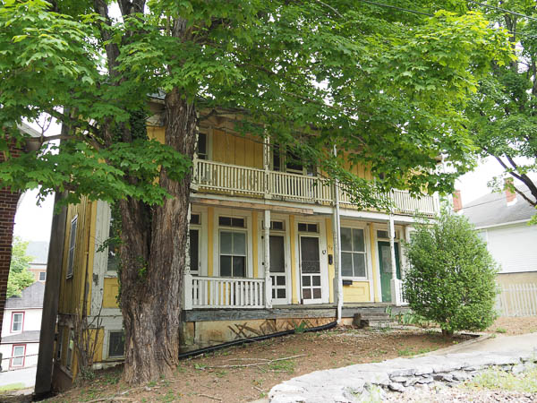
Across the street from the center, this yellow frame building houses apartments for W&L students. Historians believe that the building, built in a different location behind the original site of the station, was used by the railroad to house workers.
I knew that buildings were routinely relocated in California, but was unaware that this was also a practice in Lexington, VA! This building was demolished in 2024 as it had deteriorated too much to be safe and cost too much to repair. Sic transit....
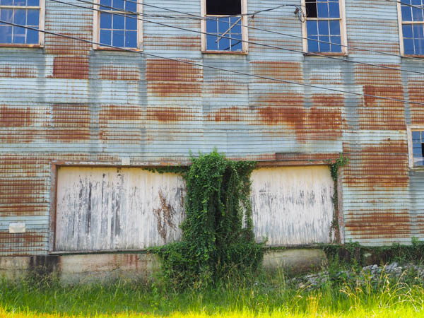
Across the street from the original station, an abandoned building that most recently housed a hardware store illustrates that its loading docks were configured to work with railroad cars. These docks haven't been used since the train stopped running.
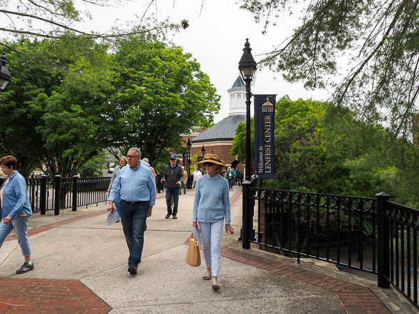
The pedestrian bridge that now allows Lenfest Center patrons to walk from the parking lot without crossing the street, once carried trains to the station.
As our leader Byron said, the bridge is rather overbuilt for pedestrians, but just right for a steam locomotive that can weigh over 200 tons.
Because of limited space in town, the trains turned around in a "Y" located in Jordan's Point and backed the last mile into the station.
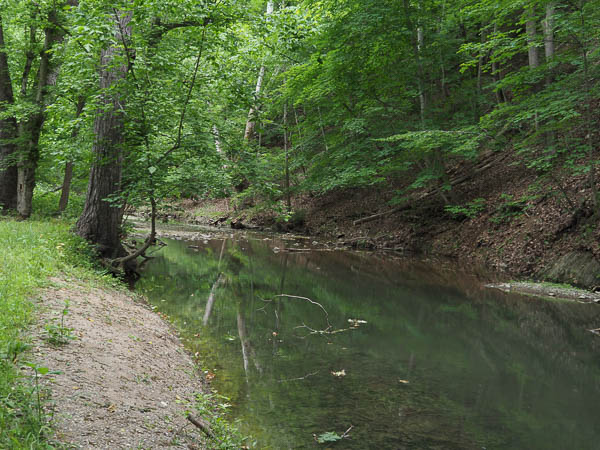
After leaving the Lenfest Center, we descended a steep stair to Woods Creek, which winds through Lexington to Jordan's Point.
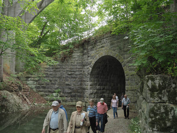
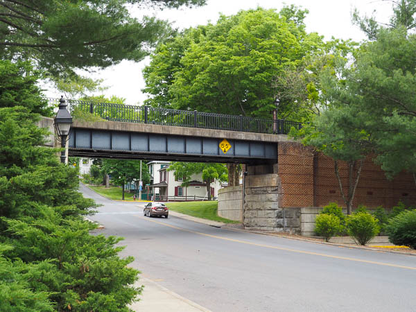
Our goal was the viaduct that once carried the rails across the creek. The tracks were originally built up much higher over the masonry work, but the university removed most of the fill when Denny Circle was constructed over the old railbed.
The concrete pilings on the left of the image carry a very tall pedestrian bridge connecting the main campus with "sorority row" on the opposite side of the creek.
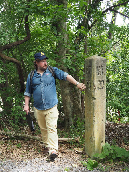
Farther along Woods Creek Trail toward the VMI Campus, Byron points out one of the old railroad mileposts. "BF" indicates Balcony Falls, which is where the old canal joined the James River. This marker is 20 miles from Balcony Falls.
During the course of the hike, we learned amusing lore about the pranks of W&L and VMI students.
One story went that members of W&L's chapter of Alpha Tau Omega fraternity "stole" a locomotive with intent to visit their girlfriends at Hollins College north of Roanoke. Investigative journalism at W&L uncovered some facts about this legend.
VMI's pranks, although less spectacular, including greasing the rails forcing train passengers to walk from Jordan's Point through town (and VMI) to reach the train station. This was apparently done only when big events were planned at W&L with participants arriving on the train.
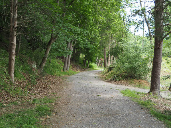
The Woods Creek Trail more-or-less follows the old railbed toward Jordan's Point. At this point we have entered the campus of VMI.
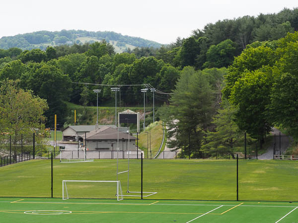
Looking across the VMI practice fields, the roadbed can be seen as a horizontal grassy strip behind the scoreboard.
When these practice fields were built, the grade of the old roadbed was significantly raised, requiring a steep set of switchbacks in the trail to return to the level of Jordan's Point.
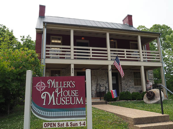
Our walk ended at Jordan's Point at the Miller's House Museum. It is the only remaining structure from the significant industrial center at this location. At one time there were several mills, a foundry, and warehouses in addition to a dam across the Maury, a railway bridge, and a covered highway bridge. The highway bridge carried US 11 into Lexington until 1935. The railway bridge was destroyed by Camille. The dam remained until 2019.
Information about the industrial past of the area may be found online.
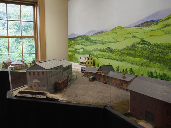
The upper floor of the Miller's House Museum contains an exhibit on the transportation history. This section shows both the yellow workers' house and the train station in their original locations. The large grey building across from the train station is still standing. In recent years it has been a hardware store, now closed.
The Chessie Trail, now owned and maintained by VMI, continues the rail route to Buena Vista, but this was as far as we walked on this day. Except, of course, for the 1½ mile walk back to the parking lot at the train station. Uphill.
I have other pictures of the Chessie Trail from 2012 and 2020.
Click your "back" button to return to the previous page or click for our picture album.