After leaving Wanaka we crossed the Southern Alps via the Haast Pass to Westland. We then drove along the coast with occasional interruptions as we crossed glacial moraines.
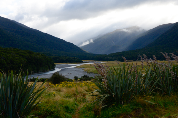
The Makarora River feeds Lake Wanaka from the southern side of Haast Pass.
Charles Cameron, a gold prospector, is believed to be the first European to find the pass. He crossed in January 1863, burying his powder flask to the west of the pass. Not long after Julius von Haast named the pass after himself and claimed to be the first European to have travelled through it. The subsequent discovery of Cameron's flask discredited his claim.
Near Ship Creek we visited a protected area of podocarp forest.
The Department of Conservation built a boardwalk to allow access to the interior. Fittingly for a swampy area on the western side of the mountains, it was raining. That did not dampen our enthusiasm for seeing this wonderful forest preserve.
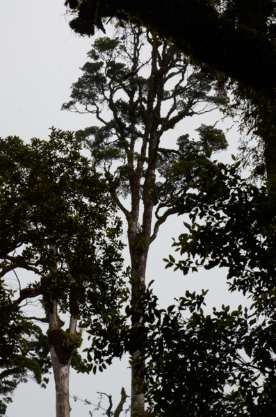
The kahikatea is New Zealand's tallest tree with a lineage that dates back to the Jurassic era. These trees produce massive amounts of fruit and support numerous birds.
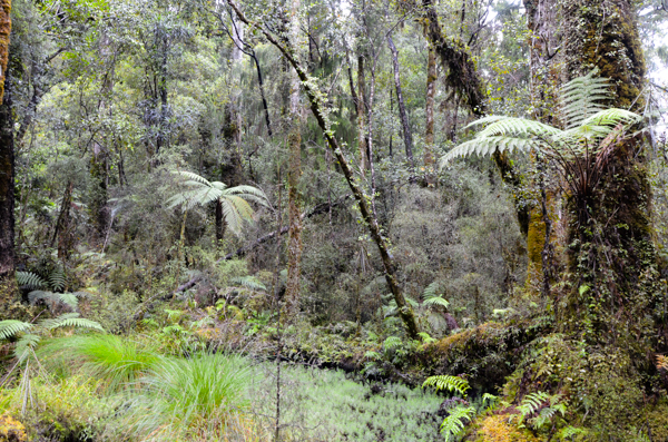
This "clearing" in the swampy preserve allows enough light for a great variety of undergrowth.
The forest looks Jurassic, doesn't it?
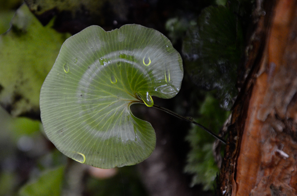
Kidney Fern owes its name to its shape. The raindrops on the far side are clearly seen.
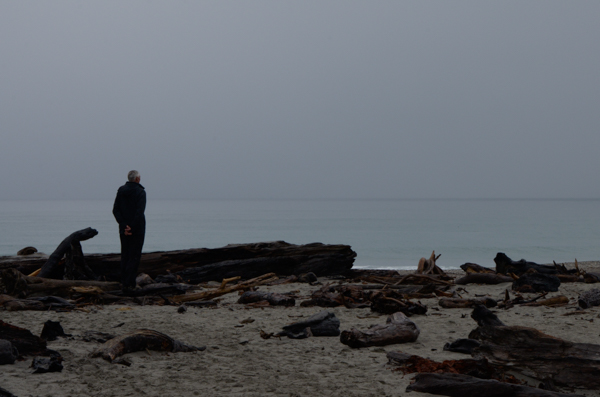
At the end of our forest walk is a short path to the Tasman Sea.
Chas may look as if he is pensively gazing into the sea, but he is really searching to see if there are dolphins to point out to us.
There were some far offshore, but I never could get a picture of them.
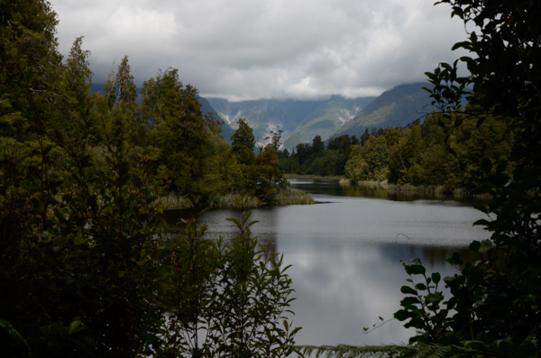
The stunning views at Lake Matheson are predicated on two things:
Clear skies. Not today. The mountain peaks were shrouded in cloud.
No wind. Although the lake is sheltered from the prevailing breezes, today the wind was from a different direction and ruffled the surface of the lake. Check the link for what our guides hoped to see.
So the view was merely lovely instead of stunning. Ah well. It was an invigorating hike anyway and there were other sights.
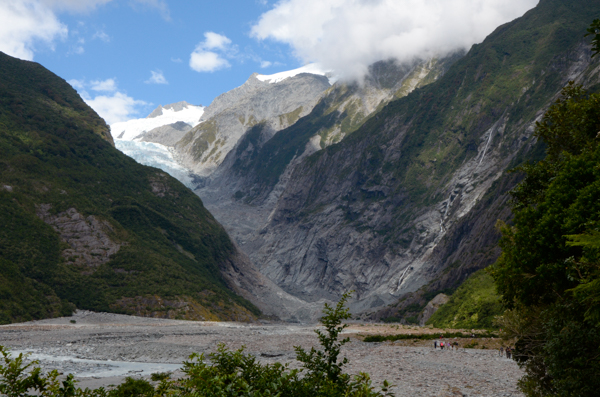
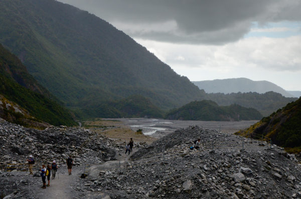
As we walked toward the Franz Josef Glacier, we crossed a young forest that had grown up since the glacier was at its maximum extent in the 18th century. Beyond it is the valley of the Waiho River. Check the 2001 picture at the link. It shows the glacier reaching the valley floor. Quite a change in 14 years!
The scale can be estimated by the tiny figures of hikers on the trail at lower right.
The river in flood covers the entire graveled bed.
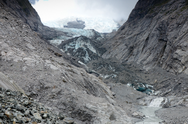
This is the closest we got to the main glacier. Meltwater is pouring out from underneath the ice.
This is the bitter end of a glacier. Those who dreamed of white snow fields and blue crevasses were disappointed.
Helicopter rides take passengers onto the upper glacier, weather permitting. The following day a group of German tourists staying at our hotel was on tenterhooks awaiting clearance for their helicopter flight. They got the green light.
Now that we've achieved our objective, it's a long walk out of this valley. Plenty of opportunity to ponder the intersection of barrenness and inexhaustible life as lichens, mosses, and plants recolonize the rocks.
Click your "back" button to return.