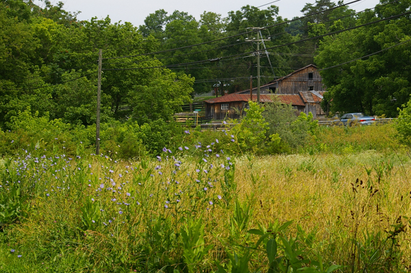
 One
of the popular easy hikes in the neighborhood is the
Chessie Nature
Trail. It is a
Rails to Trails Conservancy development that starts in a decaying
commercial area of East Lexington and ends in Buena Vista. Over the
summer we've walked most of it – though not on the same days.
I guess that makes us "section hikers."
One
of the popular easy hikes in the neighborhood is the
Chessie Nature
Trail. It is a
Rails to Trails Conservancy development that starts in a decaying
commercial area of East Lexington and ends in Buena Vista. Over the
summer we've walked most of it – though not on the same days.
I guess that makes us "section hikers."The trail is owned by VMI, which makes it available to the public. Although it is intended for pedestrians only, we have encountered some cyclists even though there are periodic barriers intended to keep vehicles out (and cows in).
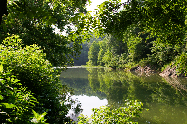
The trail was once a C&O branch line, which was destroyed by Hurricane Camille in 1969 and abandoned. For most of its length it follows the Maury River, named for Matthew Fontaine Maury, who taught at VMI after the Civil War. The river's name became official in 1968. Prior to that time it had been known as the North River.
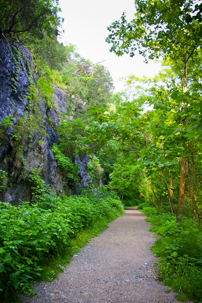 Portions of the trail show how the railbed was carved out
of the rock cliffs that flank the river. It amazes me that this work
was accomplished by men working with little more than picks
and shovels.
Portions of the trail show how the railbed was carved out
of the rock cliffs that flank the river. It amazes me that this work
was accomplished by men working with little more than picks
and shovels.Since it had originally been a railbed, the trail is flat and wide. It is well-maintained by a dedicated group of volunteers. In a number of places we could see where trees felled by the severe storms this summer had been cleared away.
In several areas the trail passes through cow pastures. The cows like shade as well as people and congregate on the path. Watch where you step! In some spots we had to walk through the cattle and occasionally shoo a cow away.
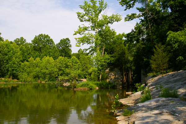 Prior
to the building of the railroad, the Maury was navigated by means
of dams and locks. These provided transportation from Lexington
to the James River and on to Richmond.
Prior
to the building of the railroad, the Maury was navigated by means
of dams and locks. These provided transportation from Lexington
to the James River and on to Richmond.The dams have since been removed although there are numerous locks that can still be seen. The entrance to one is on the right of the picture although it is heavily overgrown.
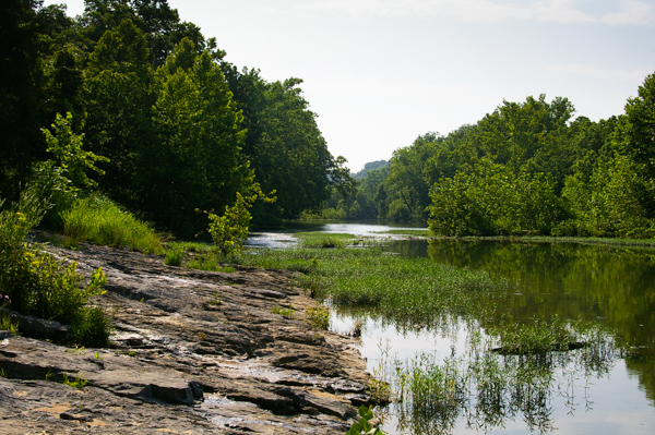 The
Maury doesn't look much like a navigable river at present. It is
shallow and filled with riffles. On one of our hikes we saw a
couple of fishermen in hip boots standing in the middle of the river
with their fly rods. Fishermen can also be seen on the banks. There
is a very popular
park on the opposite bank by one of the locks where families can
enjoy the cool water on a hot summer day.
The
Maury doesn't look much like a navigable river at present. It is
shallow and filled with riffles. On one of our hikes we saw a
couple of fishermen in hip boots standing in the middle of the river
with their fly rods. Fishermen can also be seen on the banks. There
is a very popular
park on the opposite bank by one of the locks where families can
enjoy the cool water on a hot summer day.There are some places near where the water is deep enough for small boats. We parked near one boat ramp near the Buena Vista end of the trail.